
Donovan Wylie
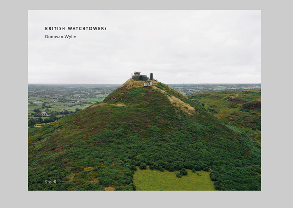
British Watchowers
Steidl, Göttingen — 2007
Observation, whether by the human eye, or the technical eye of a surveillance camera, requires an architectural structure that elevates the viewer into a position of command. The system of Iron Age hill forts, built across Britain from around 500 BC, used natural promontories to survey the surrounding landscape. Two thousand years later, the British army used a similar system of watchtowers to survey the territories of Northern Ireland, and to observe the actions of the local people under their occupation.
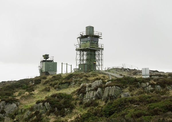
The lines of sight from the watchtowers generated a kind of virtual environment enveloping the border region of Northern Ireland. These high tech towers, constructed in the mid 1980’s, primarily in the mountainous border region of South Armagh, were landmarks in a thirty year conflict in and over Northern Ireland, euphemistically called “The Troubles”. The Towers were finally demolished between 2000 and 2007 as part of the British government’s “Demilitarization” program for Northern Ireland.
For over a year Donovan Wylie photographed these towers. Working entirely from an elevated position, enabled by military helicopter, he created a systematic survey of the towers, their positions and perspectives within the landscape.